This product is no longer available
It is an old model or a product that we can no longer order at the manufacturer.


IGNTignes - Val D'Isère - Haute Maurienne (P.N.V)
13,64 €
VAT included
Free delivery on orders over 100€
Free return under 100 days
+1,000,000 equipped adventurers
Expert advice
Product(s) linked to this item


Need advice?Ask our HardGuides!

DorianOutdoor expert
Whether it's for a few kilometers or a long exploration, the IGN topographic map Tignes - Val D'Isère - Haute Maurienne (P.N.V) will be a valuable ally for planning and experiencing your adventure. With great precision, this IGN map (scale 1:25,000) contains all the necessary details to navigate the trails and roads of Tignes - Val D'Isère - Haute Maurienne (P.N.V) and discover its many treasures: reliefs, watercourses, shelters, and other remarkable sites... Beyond your sense of direction, this IGN hiking map is, in our opinion, essential in your backpack and in your hands!
Description
Recommanded useHiking / Trekking / Travel
ItemTignes - Val D'Isère - Haute Maurienne (P.N.V)
LanguageFrench
Product(s) linked to this item
Need advice?Ask our HardGuides!
DorianOutdoor expert
IGN
Traversée De La Corse Gr20
10,23 €

IGN
Nasbinals / Monts D'Aubrac
13,64 €

IGN
Forêt D'Iraty - Pic D'Orhy
13,64 €

IGN
Pnr Massif Des Bauges
9,25 €

IGN
Le Tréport.St-Valery-Sur-Somme.Baie De Somme
14,36 €

IGN
St Jacques. Le Puy / Moissac
9,25 €

IGN
Carpentras. Vaison La Romaine. Dentelles De Montmirail
13,64 €
IGN
Clermont / Creil / Forêt De Hez / Froidmont
13,64 €

IGN
Mont Ventoux
13,64 €
IGN
Clermont L'Hérault
13,64 €

IGN
Thonon - Evian - Lac Léman
13,64 €

IGN
Oisans Champsaur
9,82 €

IGN
Genève.Annemasse.Le Léman
13,64 €

IGN
Paimpol / Tréguier / Ile De Bréhat
13,64 €

IGN
Meije.Pelvoux.Pn Des Ecrins
14,36 €
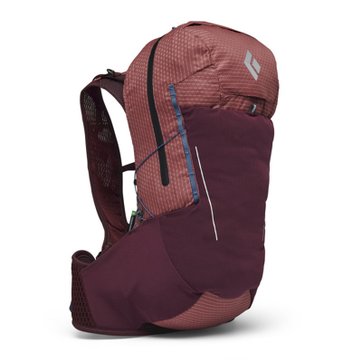
Black Diamond
Pursuit 30 - Walking backpack - Women's
94,96 €
149,90 €-36%
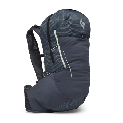
Black Diamond
Pursuit 30 - Walking backpack - Women's
87,90 €
149,90 €-41%
Eco-friendly
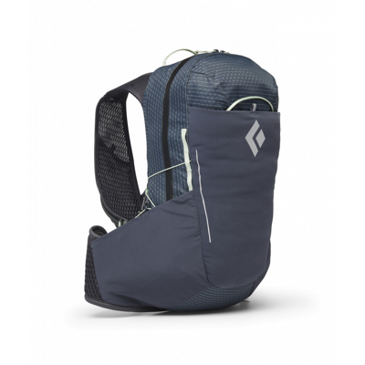
Black Diamond
Pursuit 15 - Mountain backpack - Women's
83,90 €
129,90 €-35%
Eco-friendly
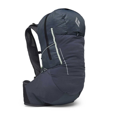
Black Diamond
Pursuit 30 - Mountain backpack - Women's
87,90 €
159,90 €-45%
Eco-friendly
Black Diamond
Pursuit 30 - Mountain backpack - Men's
94,90 €
159,90 €-40%